Start with the kind of walk you want, then open the current agency map before leaving. Desert roads, trail conditions and closures can change.
Choose the right kind of Lake Havasu hike
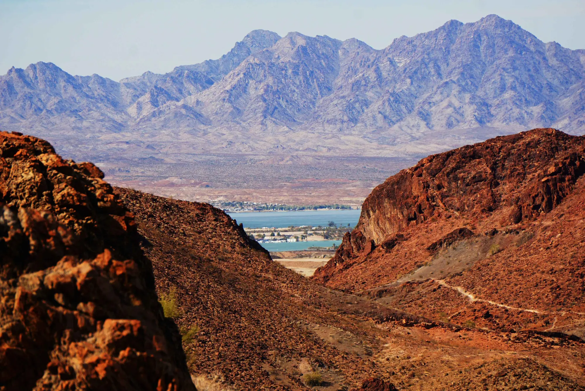
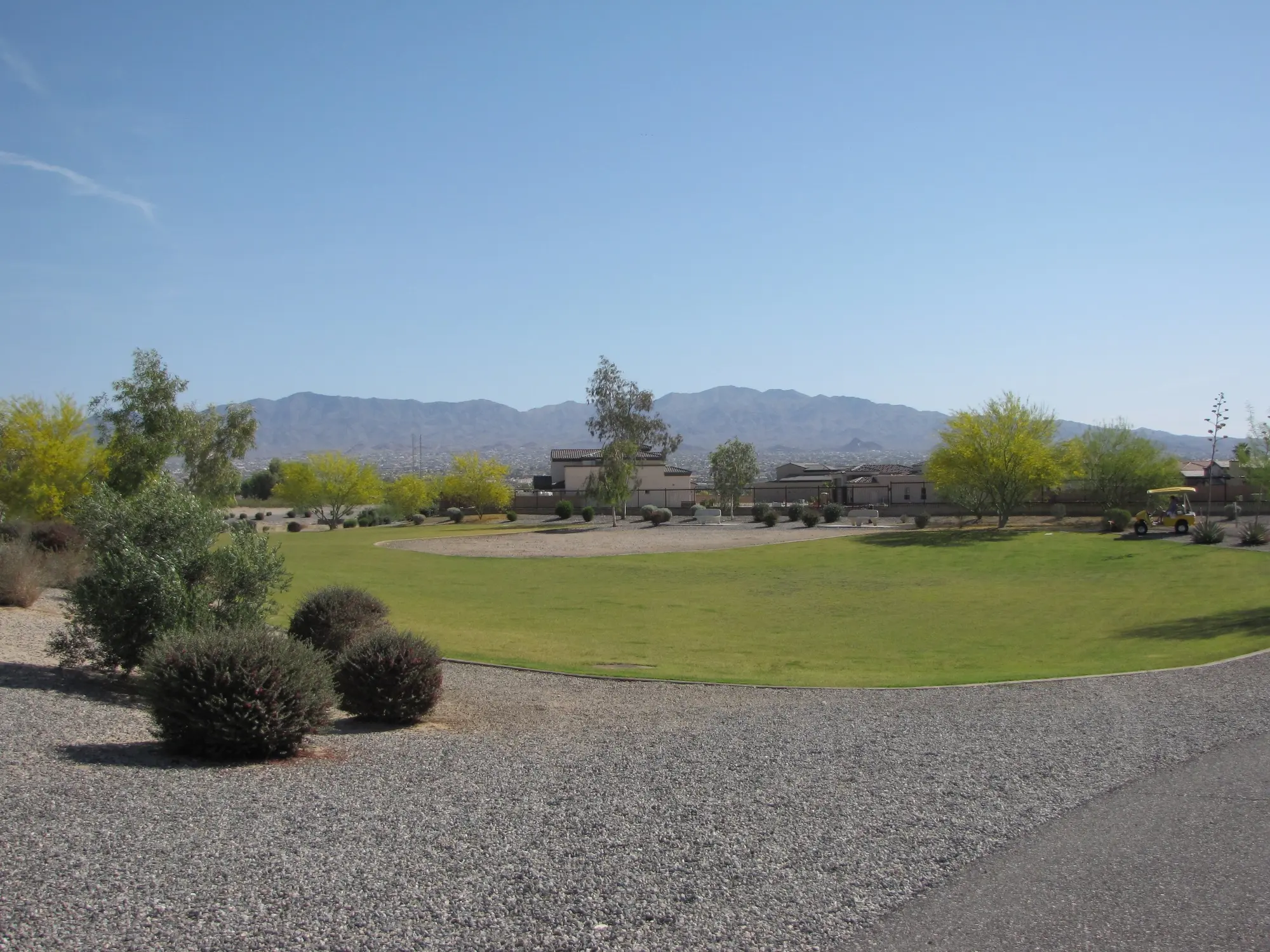
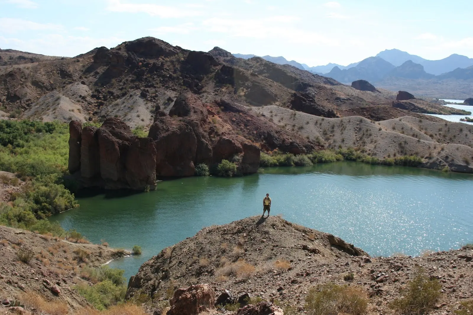
For pavement and predictable footing, start with the Grand Island Loop. For a short walk near services, check the Shoreline Trail around the London Bridge area. For exposed desert terrain, SARA Park provides a network that includes the well-known Crack in the Mountain route.
A route advertised as easy may still be unsuitable in high heat. Match the trail to the least-experienced person in the group, including their ability to manage loose rock, sun and the complete return distance.
Choose by exposure and bailout options as well as mileage. A paved Island loop, a shoreline walk and a rocky wash hike can have similar distances but very different footing, shade, navigation and consequences when someone needs to turn around.
Crack in the Mountain and SARA Park
Lake Havasu City describes Crack in the Mountain as a roughly five-mile round trip through SARA Park. The route includes desert wash terrain and a narrow slot section. Do not confuse the developed SARA Park sports facilities with a shaded, serviced hiking trail.
Carry the current BLM trail map, stay on the intended route and avoid slot or wash travel when storms could create flash flooding. See the complete SARA Park planning guide for trailhead and facility context.
Crack in the Mountain includes a narrow slot and rough desert travel; it is not an interchangeable family stroll. Read the current map, understand the complete round trip and keep the group’s comfort with scrambling and enclosed terrain in the decision.
Heat, water and turnaround decisions
Lake Havasu's warm season can make exposed hiking dangerous even early in the day. Check the overnight low, forecast high and active warnings. Carry more water than a normal city walk would require and turn around before half your water or energy is gone.
There is no achievement in finishing a route under unsafe conditions. If the forecast is poor, switch to the Lake Havasu Aquatic Center, a short developed walk or another indoor option.
The right water amount depends on duration, temperature, pace and the chance of delay. Carry more than the optimistic estimate, keep an emergency reserve and turn around before half the water is gone when the route returns the same way.
Make the plan work
Choose the trail your group can finish
Lake Havasu hiking is not one difficulty level. Match surface, exposure, distance and navigation to the least-experienced person, then use weather and water to decide whether the route still makes sense that day.
Start with the surface
Use the paved Grand Island Loop for predictable footing, a shoreline route for an easier scenic walk, or SARA Park only when the group wants real desert terrain. Do not let a short mileage number hide scrambling or wash travel.
Compare the paved Grand Island LoopCarry the map offline
Open the official SARA Park map before leaving service and save it to the phone. Identify the trailhead, route junctions and turnaround point instead of following an unverified social-media pin.
Open the official BLM trail mapLet dangerous heat cancel the hike
Morning helps only when the overnight low and finish-time forecast provide a safe margin. During extreme heat, move the activity indoors or onto the water with an appropriate operator rather than forcing the itinerary.
Read the Lake Havasu summer heat guideCheck the day, not the monthly average
Lake Havasu City weather
Heat and wind can change the safest time, route and backup plan. Check the live Lake Havasu forecast here, then use the managing agency or operator for closures, launch conditions and activity-specific rules.
Read how hot Lake Havasu gets in summer
Your question, answered
Hiking Trails frequently asked questions
What is the easiest walking trail in Lake Havasu City?
The paved, mostly level Grand Island Loop is a practical choice for predictable footing. It is still 3.6 miles and exposed to heat.
How long is Crack in the Mountain Trail?
Lake Havasu City describes the SARA Park route as about five miles round trip. Use the current BLM map and allow for desert conditions.
Can I hike in Lake Havasu during summer?
Dangerous heat can make exposed routes unsafe even early. Use the current forecast and heat warnings, and postpone when conditions are not appropriate.
Do Lake Havasu trails have water?
Do not assume they do. Carry all water needed for the route and extra for delays; official trail pages should be checked for any site-specific facilities.
Check before you go
Current details from the source