Think of it as an easy exercise loop, not a backcountry hike or shoreline trail. Here’s where to start, where to park, how traffic moves and what the Lake Havasu heat can add to the walk.
What the Grand Island Loop actually is
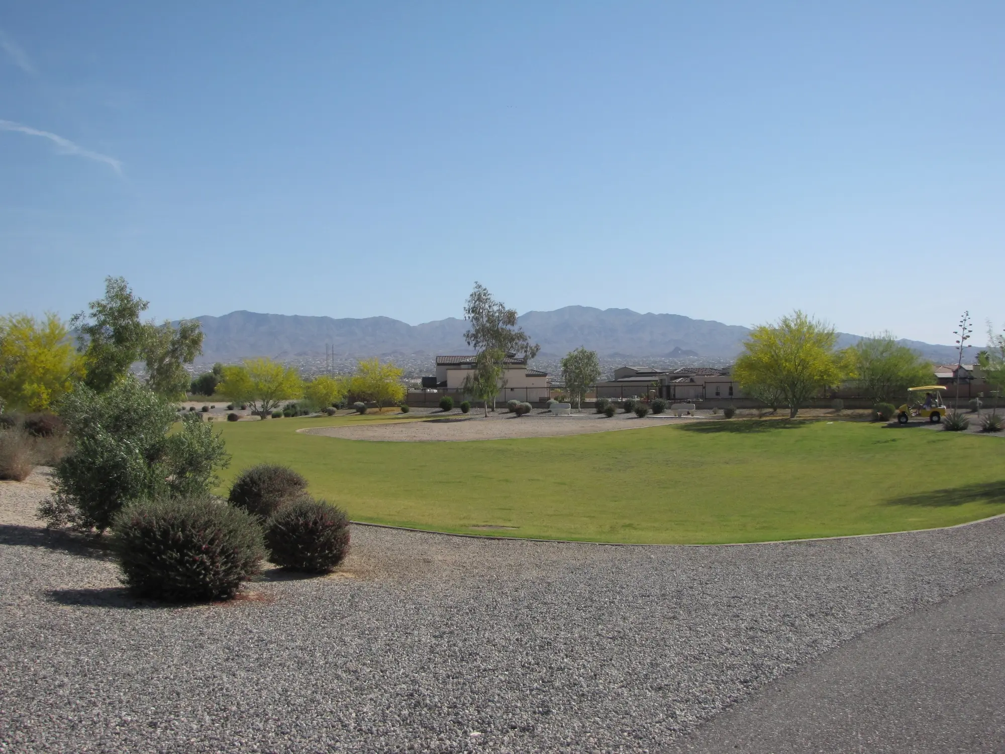
The loop circles the interior of the Island rather than following the shoreline. Lake Havasu City describes it as a mostly level exercise path with open mountain views. It does not require the loose footing, climbing or route-finding common on desert trails.
That distinction matters. Official trail information does not identify swimming areas, kayak launches, fishing access, drinking-water stations or interpretive exhibits along the route. Bring what you need for the complete loop and use designated lake-access areas for water activities. If you want dirt, elevation changes or desert terrain, compare the Lake Havasu hiking trails.
The predictable surface makes the loop useful for visitors who want exercise without committing to desert navigation. It is also exposed and longer than it can look on a map, so treat the full distance—not the word “easy”—as the deciding factor for children, dogs and mixed-ability groups.
Trailhead, parking and directions
The primary trailhead is at McCulloch Boulevard N and Beachcomber Boulevard on the Island. From central Lake Havasu City, cross London Bridge and continue on McCulloch Boulevard. The visitor bureau directs trail users to the off-road parking area along McCulloch Boulevard N just before Beachcomber Boulevard.
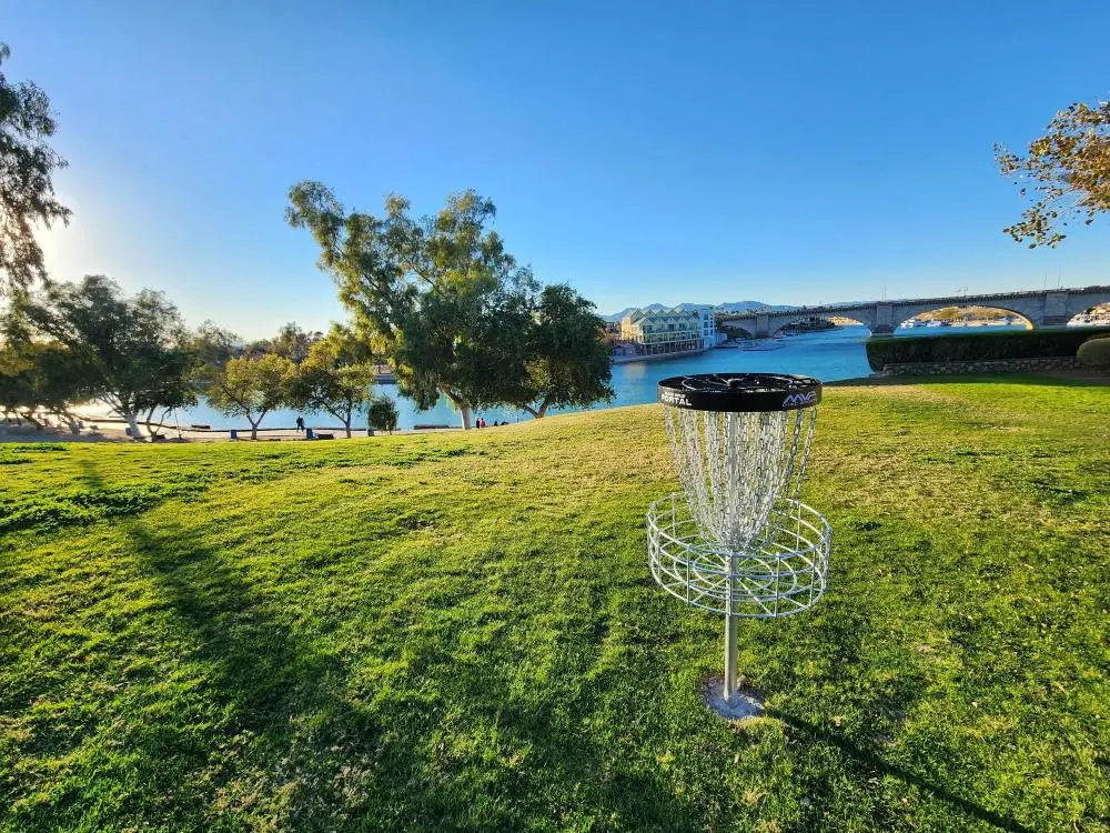
Grand Island Park is associated with the path, but the park address—750 Malibu Drive—is not the primary trailhead. Use McCulloch and Beachcomber when your first priority is the loop. Use the park address when you also want the fields, ramadas, restrooms or disc golf course. Event weekends can affect Island traffic, so check the Lake Havasu City events calendar before leaving.
Save the trailhead pin before crossing London Bridge; a search for “Grand Island Park” can place you at the sports complex instead of the normal loop start. If you need restrooms before or after the walk, plan that stop at the park rather than assuming facilities are spaced around the route.
Walking, running and bicycling the Island Trail
Signs direct pedestrians counter-clockwise and bicyclists clockwise. Following the posted direction makes opposing traffic more predictable on the shared, non-motorized path.
A faster runner or cyclist may finish well under two hours. Walkers taking breaks should allow more time and consider the complete 3.6-mile distance before starting with children, dogs or anyone who may have difficulty completing the loop. Pavement removes loose footing, but it does not remove heat, sun exposure or distance.
Shared-path etiquette matters most near bends and access points. Keep right, pass only when there is room, call the pass early and keep leashes short enough that a dog cannot cross the path in front of a runner or bicycle.
Best time and Lake Havasu heat planning
Cooler months provide the widest window for walking, running and cycling. In warmer periods, early morning can reduce direct sun, but the forecast and overnight temperature still matter. A sunrise start does not automatically make a 3.6-mile route safe.
Check the live Lake Havasu weather, carry water for the full route and use sun protection. Dogs need their own water, and pavement temperature should be checked before bringing them. Postpone the loop during dangerous heat.
For a summer decision, look at the temperature expected near the end of the walk, not only at the start. Radiant heat from the asphalt and a warm overnight low can remove the margin that an early departure would normally provide.
Accessibility and Grand Island Park facilities
The route is paved, easy and mostly level, but official sources do not designate the entire loop as an ADA-accessible trail. Anyone using a wheelchair, mobility aid or adaptive cycle should account for the parking-to-path transition, current pavement condition, full distance and lack of documented water stops. The same practical check applies to strollers.
Grand Island Park at 750 Malibu Drive has open grass fields, a disc golf course, picnic ramadas and onsite restrooms. Those park facilities should not be assumed to be continuously available around the loop.
A paved surface helps with footing but does not guarantee curb-free access, continuous shade or an easy turnaround. Anyone with a mobility concern should preview the starting transition, choose a realistic out-and-back distance if needed and avoid relying on the full loop as the only option.
Make the plan work
A simple Grand Island Loop game plan
This outing works best when the route, heat and finish are settled before anyone starts walking. A few minutes of planning keeps a straightforward loop from turning into an exposed, uncomfortable final mile.
Pin the right start
Navigate to McCulloch Boulevard N at Beachcomber Boulevard, not just to Grand Island Park. Save the pin before you leave and decide whether the park facilities are a separate stop.
Open the trailhead mapCheck the finish-time weather
Estimate how long your slowest walker will need, then check the forecast for that entire window. Carry water for the full 3.6 miles and add water for a dog rather than sharing one bottle.
Read the Lake Havasu summer heat guidePair the Island stops
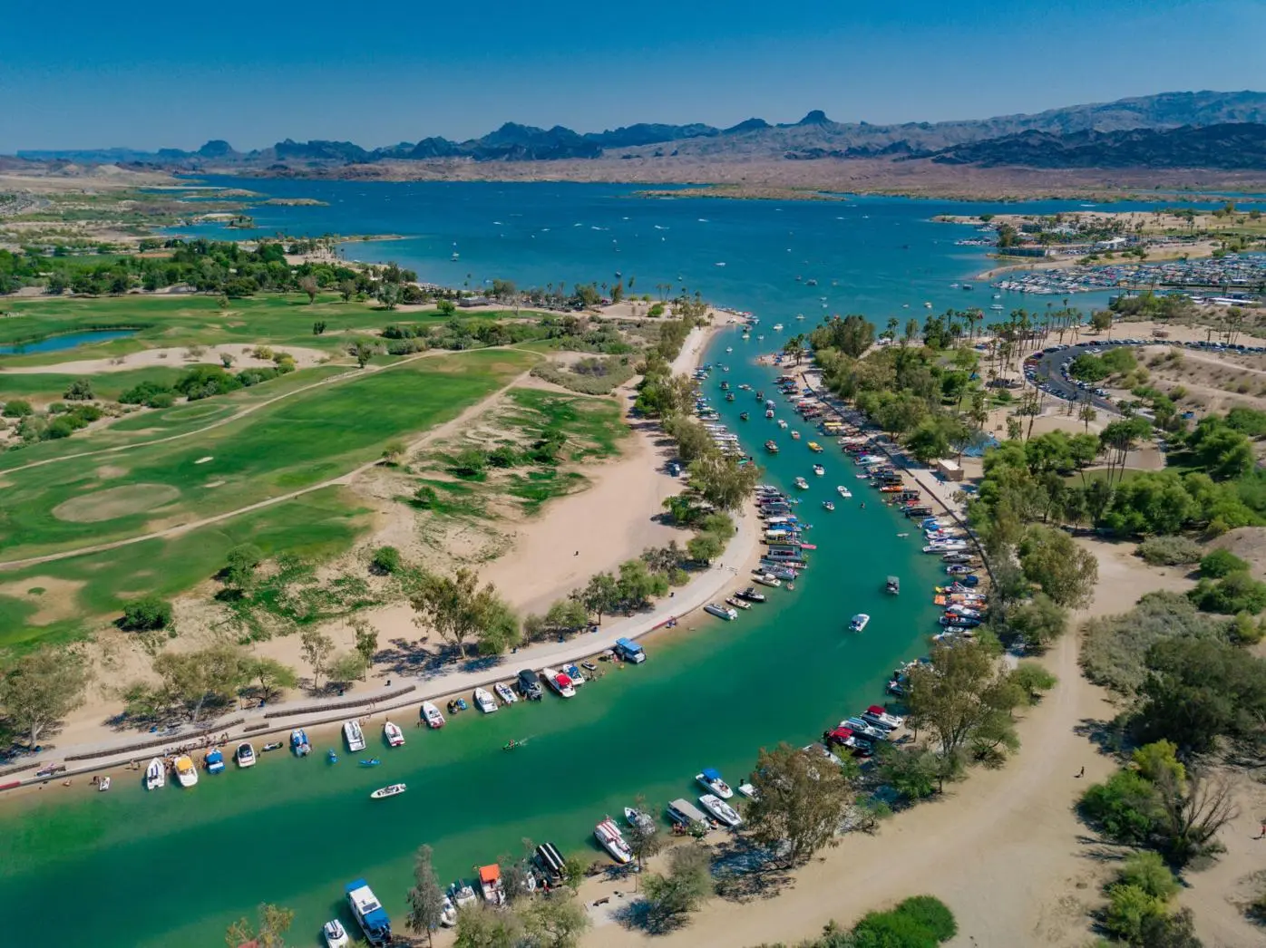
The loop can share a morning with Grand Island Park, disc golf or the Bridgewater Channel. Keep the second stop flexible so the group can shorten the day if heat or fatigue arrives early.
Plan time at Bridgewater ChannelCheck the day, not the monthly average
Lake Havasu City weather
Heat and wind can change the safest time, route and backup plan. Check the live Lake Havasu forecast here, then use the managing agency or operator for closures, launch conditions and activity-specific rules.
Read how hot Lake Havasu gets in summer
Your question, answered
Grand Island Loop frequently asked questions
How long is the Grand Island Loop?
The Island Jogging Path is a 3.6-mile loop. Grand Island Loop and Island Trail are common names for the same paved route.
Where does the Grand Island Loop start?
The primary trailhead is at McCulloch Boulevard N and Beachcomber Boulevard. Published coordinates are 34.468502, -114.354130.
Can bicycles and dogs use the Island Trail?
Yes. Bicyclists travel clockwise, pedestrians travel counter-clockwise, and dogs are permitted on leash.
Does the loop follow the lake shoreline?
No. It circles the Island interior and should not be treated as a continuous swimming, fishing or kayak-access route.
Are there water stations on the trail?
The City does not list hydration stations around the loop. Grand Island Park has restrooms, but carry water and plan facility stops separately.
Check before you go
Current details from the source